The Pekoe Trail Stage 12: Udaweriya To Haputale
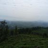
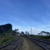
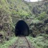
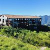
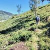
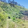
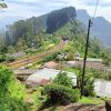
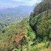
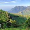
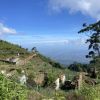
Length 16.1 km Elevation gain 659 m Route type Point to point Experience this 16.1-km point-to-point trail near Haputale, Badulla. Generally considered a challenging route, it takes an average of 5 h 44 min to complete. This trail is great for backpacking, hiking, and walking, and it's unlikely you'll encounter many other people while exploring. This is one of The Pekoe Trail's most exciting stages. The Udaweriya Valley is one of the most remote valleys in the tea country. Some call it the “hidden valley”. It looks over the south of Sri Lanka and on a clear day it may be possible to make out the ocean. The views are truly amazing, no doubt some of the best in the tea country. The stage begins at an old derelict tea factory. Not too far into it, there is a peak at a tea trail crossroads with an old house and that is the highest point of the stage. It is common to find a friendly family of goats at the top. This valley seems so remote it can feel lost in time. Visitors will no doubt attract the looks and smiles of curious villagers. From here all the way to Haputale is mostly a long and gradual descent. The track saddles the lowlands to the right. Some may wonder how the British built this seemingly impossible track. Once it passes an abandoned village, the tea trail becomes a walking path. This path is clearly used by local villagers to go from Udaweriya down towards Haputale and Ella because it is well-trodden and reasonably well-maintained. The trail penetrates a stretch of high elevation tropical forest for a short section then resolves into a pine forest. The contrast is mind-blowing. The trail through the pine forest is an absolute delight. When exiting the forest, navigation can get tricky. The tea trail down the valley is the wrong trail. The Pekoe Trail follows a track through the forest all the way to the train station. It is absolutely essential to follow GPS. The Idalgashinna Train Station sits on a ridge, another incredible feat of engineering. The next bit is on the train tracks, inevitably. If a train is coming, it will be heard a long time before seen. There is plenty of room on both sides of the train track to stay clear. At one point, there is a tunnel; the only option is to go through it. It is important to pass through the tunnel quickly - it should only take a minute or so. Soon enough you're on the trail again zig-zagging down towards Beragala on a reasonably well-marked trail. Be sure to descend to Beragala if it’s too foggy or looks tricky. This area is prone to thunderstorms, and the trail can be slippery. From here on, walk towards Haputale on a well-established trail tracing the southern side of the ridge. The views to the south are fabulous all the way, but be careful with the exposure to the sun as there’s not a lot of shade here. Along the trail, you'll pass a small village in this amazing location. If you need to descend, this is a good exit poin


